
Biking In Dash Point State Park
Sunsets, Shoreline, And Bikes
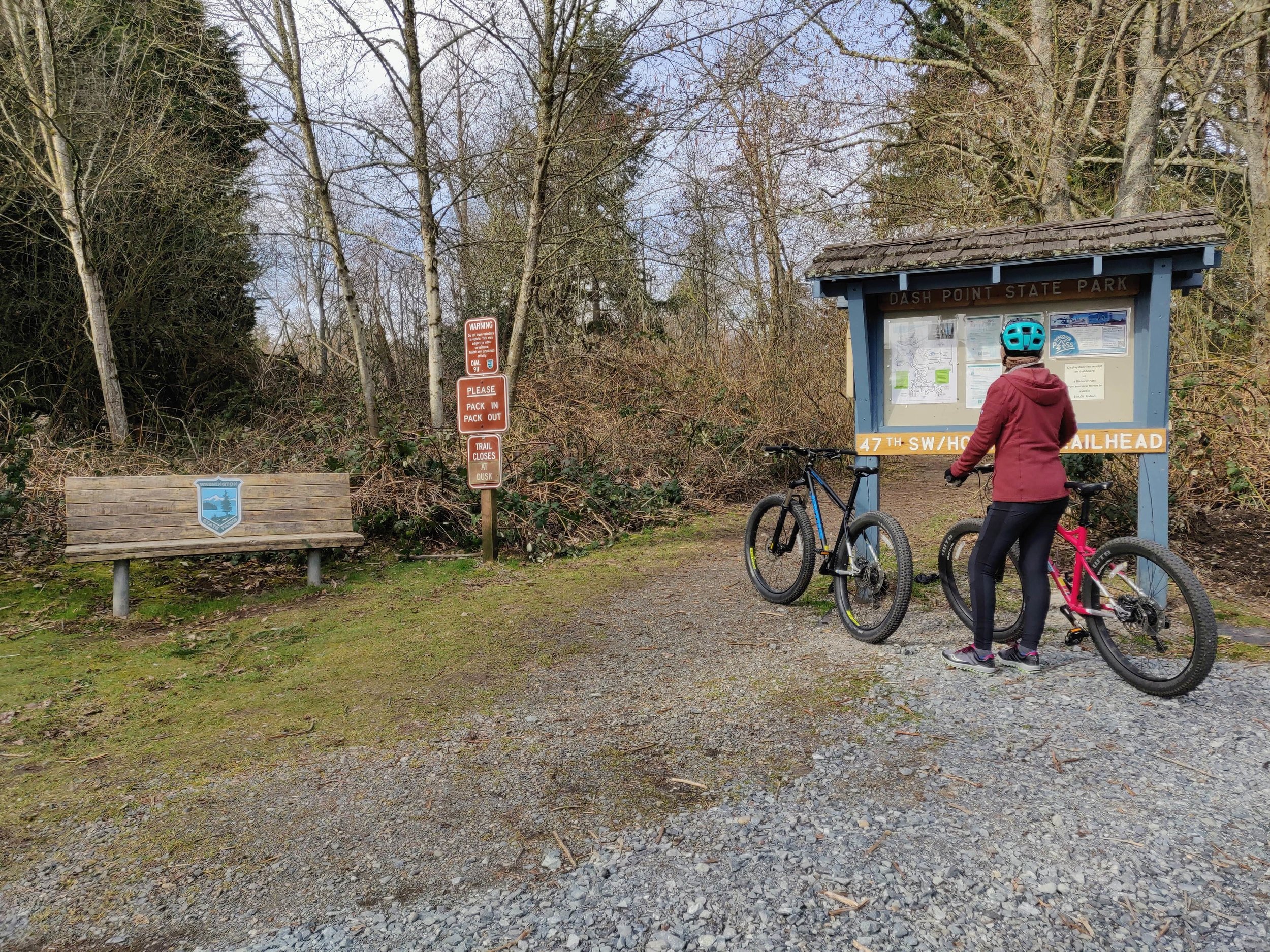
On the trail in Dash Point State Park
Our goal was to camp somewhere close to home and to bring our bikes along to hit the trails. We love exploring all of the Pacific Northwest, but the majority of our journeys take us on very long drives which become a bit draining at times. So we opted for the nearby Dash Point State Park. We’ve visited in the past, but this would be our first time staying there and using the bike trails.
“Get a bicycle. You will certainly not regret it, if you live.”
Exploring Dash Point State Park
Dash Point State Park welcome sign
We arrived on a Friday evening and unpacked our gear into our new temporary home, which was Cabin 1. After we settled in we drove over to the beach in the day use area, just in time for the setting sun. The tide was out, and we explored the shores of the Puget Sound. We lingered as the sky deepened in color. It was a chilly evening, and the temperature dropped pretty quick, so we headed back to the campground. Opting to pass on the campfire for the night, we stayed in and did some Netflix and chill. Why not?


Mountain Bike Trails In The City
Biking and hiking trail in Dash Point State Park
In the morning we loaded the bikes up and drove to a local coffee spot then to the trailhead. We haven’t been biking anywhere near as often as we told ourselves we would a couple of years back when we got the bikes. So we were a bit out of bike-shape, but from what we gathered online, these trails were mostly for beginners.
There’s a total of eight miles, split between many different intersecting routes with their own names. Having a map or GPS unit/app is helpful but not entirely necessary since the trails are well marked with a posted map at all the major intersections.
We started out on Hoyt Road Trail, took the Switchback to Shannon’s Shin, then went west on Boundary Trail until we met up with Heart Attack Hill. Up to this point, all the trails were pretty flat and easy to ride. So far so good, we were having a great time.

Now, about that Heart Attack Hill trail. This was a pretty steep incline, and there was no way we were going to be riding the whole way up. We had to stop shortly after getting on this trail as we quickly ran out of breath. We took a few photos, drank some water, then walked the bikes a bit. Then we tried riding again. We may have stopped another two times or so until we made it to the top.
Our next exit was the IMBA Trail. Here it starts out going downhill which was a great feeling. The crisp and cool breeze was just what we needed as we picked up speed. This downhill portion doesn’t last long though. We reached the lower part of this trail which had us crossing a bridge over a creek and then it started back uphill again. We had to stop once again for a break. As we were drinking some water, another cyclist was coming down the trail and let us know that he also wasn’t able to make it all the way up without breaking.
We eventually made it to the top where it meets up with Ridge Trail. Here we made a right turn and noticed a bird watching platform. We briefly stopped here and discussed our plan of action. There was still so many more trails to take and different routes to go. But we were indeed out of shape for biking, and we opted to head back, telling ourselves we’d be back in the future as this was an excellent place for conditioning.


We continued west a short way until we made a right on Double Dip which then led us back to our previous Heart Attack Hill/IMBA Trail intersection. There was also a third option here called Log Jam Trail. This was almost all downhill, lasting nearly a mile long, with plenty of curves making it the most fun part of the experience. This brought us back to Boundary Trail, and we made our way back to the parking lot.
Our total distance was 3.2 miles which took 1 hour and 5 minutes. It doesn’t sound like much when we often cover at least twice the distance on foot while hiking. There’s certainly a difference between the two activities, and they each require their own getting used to.
We headed back to the campground to make some food and just relax for the remainder of our stay. That evening we started a campfire and rewarded ourselves with a few drinks while discussing our plans to bring the bikes with us more often.


Final Thoughts
Pacific North Wanderers at Dash Point State Park
We’ll be adding more biking adventures this year, but the bike trails at Dash Point State Park were a good starting point. For a park so near the city, it offers a delightful getaway without the travel of a getaway. Having access to the shoreline along with hiking and biking trails provides a nice variety of activities even if you’re only there during the day. So, if you’re looking for a quick nature fix, near Tacoma, without the hassle of travel, Dash Point State Park has you covered.
Hey, we appreciate your readership! If you're in the market for new gear and would be willing to make your purchase through our Amazon link, we might get a small commission out of it. No additional cost to you and maybe a little something for us!
Thank you for your support!
Helpful Information & Links
Coordinates: 47°18'42.7"N 122°23'32.5"W
Length of Trails: 8 miles biking; 11 miles hiking
Difficulty: Easy-Moderate
Pass Needed: Discover Pass
Follow along on our wanderings around the Pacific Northwest.
The only thing better would be being there yourself!
Subscribe to Our Newsletter